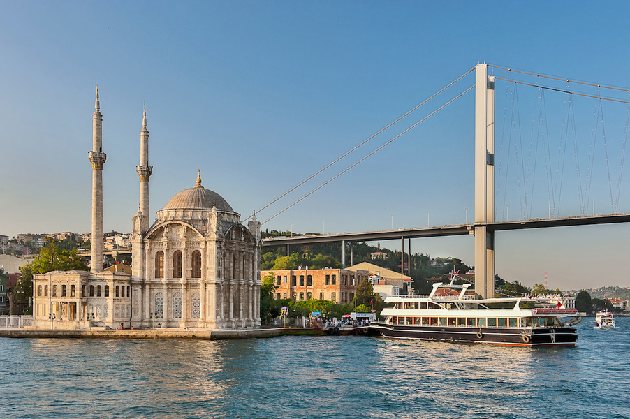
The Bosporus also known as the Strait of Istanbul; Turkish: İstanbul Boğazı, colloquially Boğaz) is a narrow, natural strait and an internationally significant waterway located in northwestern Turkey. It forms part of the continental boundary between Europe and Asia, and divides Turkey by separating Anatolia from Thrace.
It is the world’s narrowest strait used for international navigation. The Bosporus connects the Black Sea with the Sea of Marmara, and, by extension via the Dardanelles, the Aegean and Mediterranean seas.
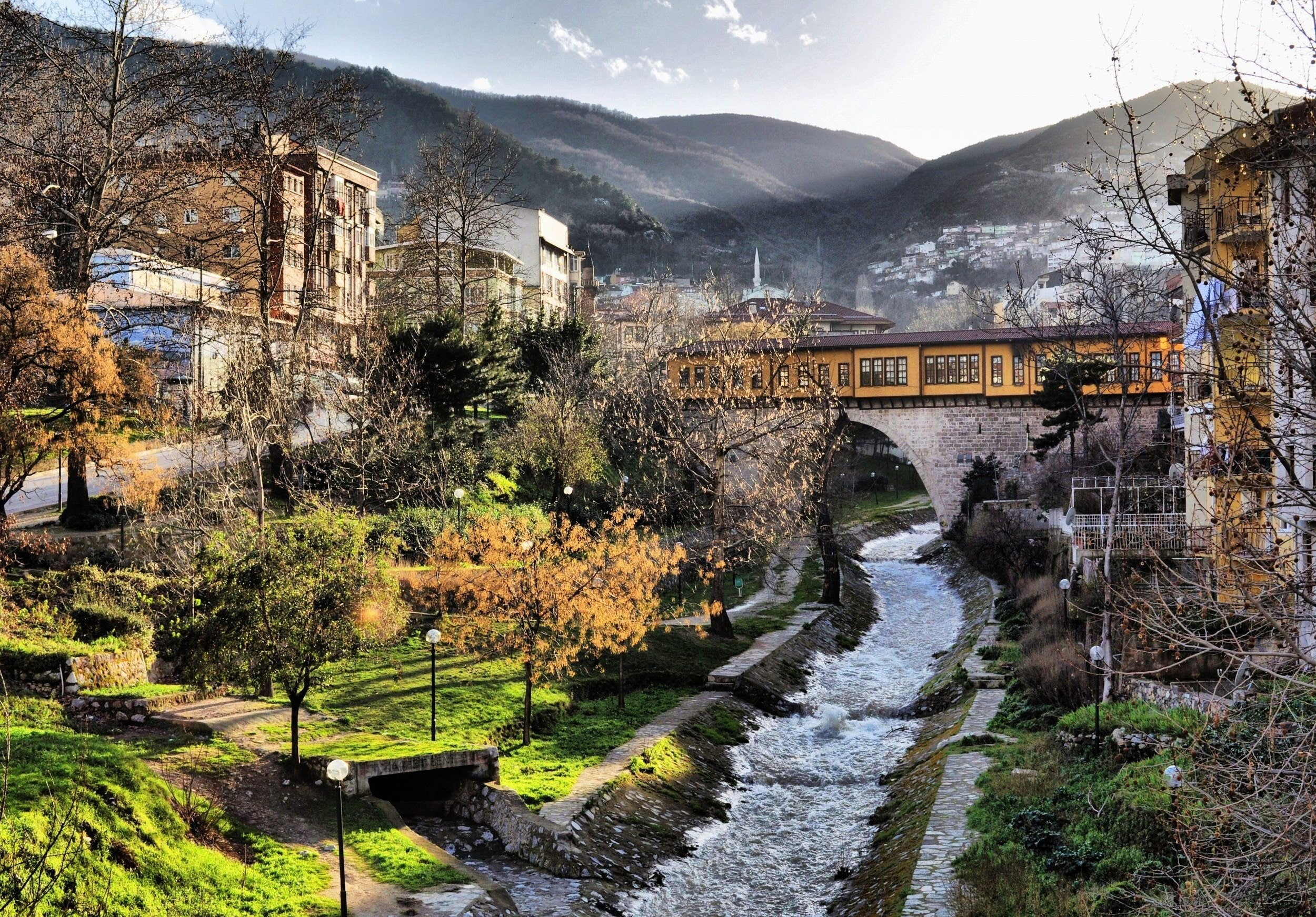
Most of the shores of the strait, except for those in the north, are heavily settled, straddled by the city of Istanbul’s metropolitan population of 17 million inhabitants extending inland from both coasts.
Together with the Dardanelles, the Bosporus forms the Turkish Straits.
As a maritime waterway, the Bosporus connects various seas along the Eastern Mediterranean, the Balkans, the Near East, and Western Eurasia, and specifically connects the Black Sea to the Sea of Marmara. The Marmara further connects to the Aegean and Mediterranean seas via the Dardanelles. Thus, the Bosporus allows maritime connections from the Black Sea all the way to the Mediterranean Sea and the Atlantic Ocean via Gibraltar, and the Indian Ocean through the Suez Canal, making it a crucial international waterway, in particular for the passage of goods coming in from Russia.
The limits of the Bosporus are defined as the connecting line between the lighthouses of Rumeli Feneri and Anadolu Feneri in the north, and between the Ahırkapı Feneri and the Kadıköy İnciburnu Feneri in the south. Between these limits, the strait is 31 km (17 nmi) long, with a width of 3,329 m (1.798 nmi) at the northern entrance and 2,826 m (1.526 nmi) at the southern entrance. Its maximum width is 3,420 m (1.85 nmi) between Umuryeri and Büyükdere Limanı, and minimum width 700 m (0.38 nmi) between Kandilli Point and Aşiyan.
he depth of the Bosporus varies from 13 to 110 m (43 to 361 ft) in midstream with an average of 65 m (213 ft). The deepest location is between Kandilli and Bebek with 110 m (360 ft). The shallowest locations are off Kadıköy İnciburnu on the northward route with 18 m (59 ft) and off Aşiyan Point on the southward route with 13 m (43 ft)
The smallest section is on a sill located in front of Dolmabahçe Palace. It is around 38 000 square meter. The Southbound flow is 16 000 m3/s (fresh water at surface) and the northbound flow is 11 000 m3/s (salt water near bottom). Some even speak about a Black Sea undersea river.
It had been known since before the 20th century that the Black Sea and the Sea of Marmara flow into each other in a geographic example of “density flow”, and in August 2010, a continuous ‘underwater channel’ of suspension composition was discovered to flow along the floor of the Bosporus, which would be the sixth largest river on Earth if it were to be on land.[10] The study of the water and wind erosion of the straits relates to that of its formation. Sections of the shore have been reinforced with concrete or rubble and sections of the strait prone to deposition are periodically dredged.
The 2010 team of scientists, led by the University of Leeds, used a robotic “yellow submarine” to observe detailed flows within an “undersea river”, scientifically referred to as a submarine channe for the first time. Submarine channels are similar to land rivers, but they are formed by density currents—underwater flow mixtures of sand, mud and water that are denser than sea water and so sink and flow along the bottom. These channels are the main transport pathway for sediments to the deep sea where they form sedimentary deposits. These deposits ultimately hold not only untapped reserves of gas and oil, they also house important secrets—from clues on past climate change to the ways in which mountains were formed.
The first images of these submarine channels were obtained in 1999, showing them to be of great size during a NATO SACLANT Undersea Research project using jointly the NATO RV Alliance, and the Turkish Navy survey ship Çubuklu. In 2002, a survey was carried out on board the Ifremer RV Le Suroit for BlaSON project (Lericolais, et al., 2003) completed the multibeam mapping of this underwater channel fan-delta. A complete map was published in 2009 using these previous results with high quality mapping obtained in 2006 (by researchers at Memorial University of Newfoundland who are project partners in this study).
The team will use the data obtained to create innovative computer simulations that can be used to model how sediment flows through these channels. The models the team will produce will have broad applications, including inputting into the design of seafloor engineering by oil and gas companies.
The project was led by Jeff Peakall and Daniel Parsons at the University of Leeds, in collaboration with the University of Southampton, Memorial University of Newfoundland, and the Institute of Marine Sciences. The survey was run and coordinated from the Institute of Marine Sciences research ship, the R/V Koca Piri Reis.